Download the Map Skills Module
This module contains:
- An editable PowerPoint lesson presentation
- Editable revision handouts
- A glossary that covers the key terminologies of the module
- Activities and end-of-topic questions with answers to test knowledge and understanding
Map Skills
Map skills in Key Stage 3 Geography involve a range of competencies that allow students to effectively use and interpret maps. These skills include understanding map symbols, direction, scale, distance and height, grid references, use of technology, and atlas skills. These skills not only help students understand geographical data and concepts, but also enable them to identify and navigate the world around them.
This KS3 Map Skills module will enable students to:
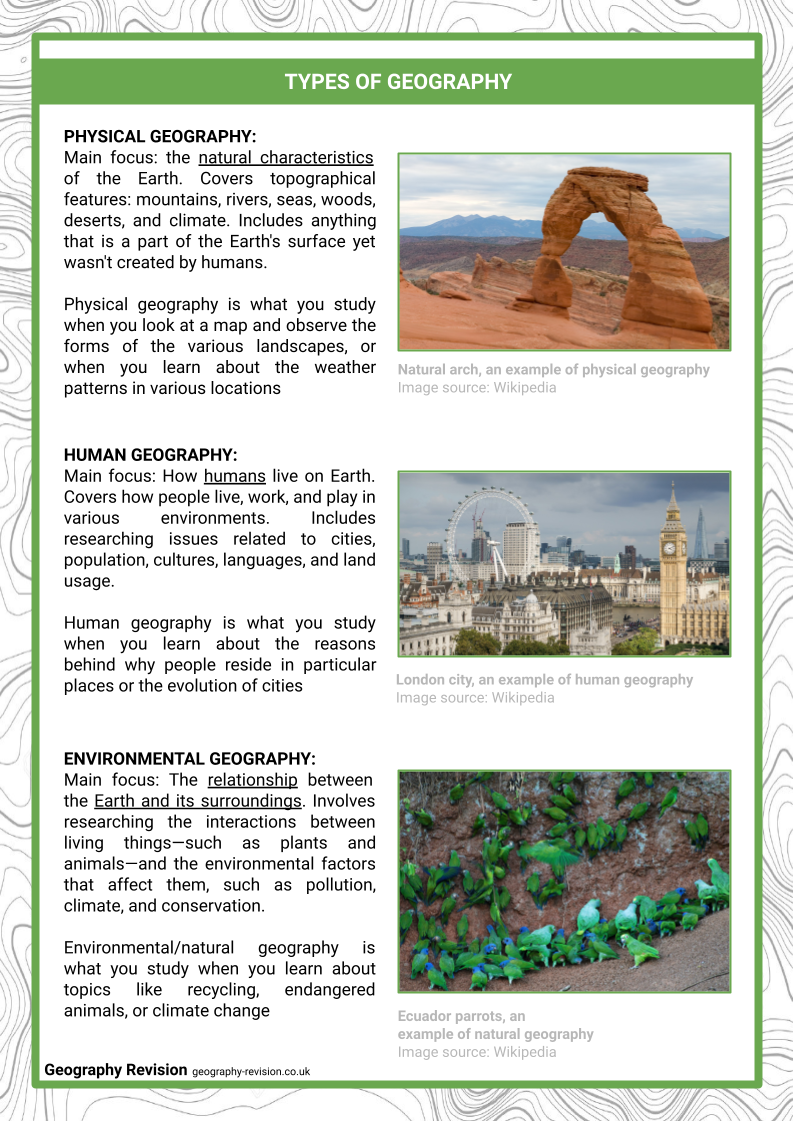
- Differentiate the different types of geography
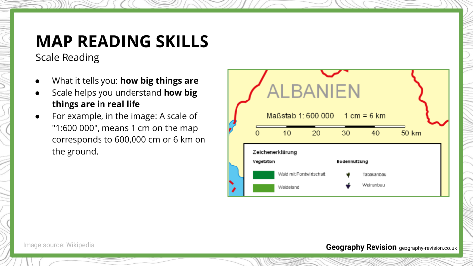
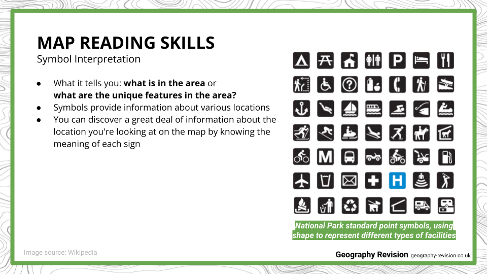
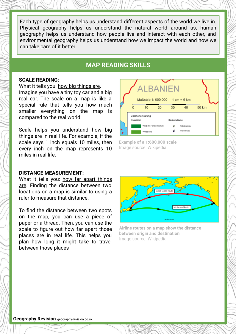
- Read scales, measure distances, identify symbols/landmarks, give directions
- Explain what ordnance survey (OS) maps are
- Know how to read and interpret grid references
- Differentiate latitude and longitude
- Differentiate the different continents and oceans
Resource Examples
Click any of the example images below to view a larger version.
Lesson Presentation:
Revision Notes:
More Geographical Skills Modules
Map Skills is one lesson in our Geographical Skills module. The other theory lessons can be found below:
Map Skills
GIS
